
Thank you for supporting this site ❤️
Make a donation
Make a donation
Gear up for your next adventure:
As an Amazon Associate, this site earns from qualifying purchases at no extra cost to you.
Mohali topographic map
Click on the map to display elevation.
Thank you for supporting this site ❤️
Make a donation
Make a donation
Gear up for your next adventure:
As an Amazon Associate, this site earns from qualifying purchases at no extra cost to you.
About this map
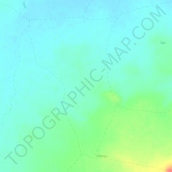
Name: Mohali topographic map, elevation, terrain.
Location: Mohali, Shahgarh Tahsil, Sagar District, Madhya Pradesh, India (24.13273 78.97213 24.15519 78.98822)
Average elevation: 1,598 ft
Minimum elevation: 1,549 ft
Maximum elevation: 1,739 ft
Thank you for supporting this site ❤️
Make a donation
Make a donation
Gear up for your next adventure:
As an Amazon Associate, this site earns from qualifying purchases at no extra cost to you.