
Make a donation
Gear up for your next adventure:
As an Amazon Associate, this site earns from qualifying purchases at no extra cost to you.
Yeager topographic map
Click on the map to display elevation.
Make a donation
Gear up for your next adventure:
As an Amazon Associate, this site earns from qualifying purchases at no extra cost to you.
Yeager
The town lies at an elevation of 870 feet above sea level and has an average of 39 inches of rain and 6.1 inches of snowfall annually.
Make a donation
Gear up for your next adventure:
As an Amazon Associate, this site earns from qualifying purchases at no extra cost to you.
About this map
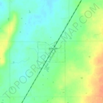
Name: Yeager topographic map, elevation, terrain.
Location: Yeager, Hughes County, Oklahoma, United States (35.15402 -96.34444 35.15957 -96.33567)
Average elevation: 804 ft
Minimum elevation: 751 ft
Maximum elevation: 879 ft
Hughes County trails, hiking, mountain biking, running and outdoor activities
Make a donation
Gear up for your next adventure:
As an Amazon Associate, this site earns from qualifying purchases at no extra cost to you.