
Thank you for supporting this site ❤️
Make a donation
Make a donation
Gear up for your next adventure:
As an Amazon Associate, this site earns from qualifying purchases at no extra cost to you.
Hassanabad topographic map
Click on the map to display elevation.
Thank you for supporting this site ❤️
Make a donation
Make a donation
Gear up for your next adventure:
As an Amazon Associate, this site earns from qualifying purchases at no extra cost to you.
About this map
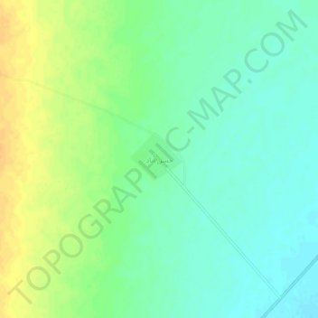
Name: Hassanabad topographic map, elevation, terrain.
Location: Hassanabad, بخش جلگه زوزن, Khaf County, Razavi Khorasan, Iran (34.22519 59.94821 34.26519 59.98821)
Average elevation: 2,372 ft
Minimum elevation: 2,333 ft
Maximum elevation: 2,428 ft
Thank you for supporting this site ❤️
Make a donation
Make a donation
Gear up for your next adventure:
As an Amazon Associate, this site earns from qualifying purchases at no extra cost to you.