
Gorma topographic map
Click on the map to display elevation.
About this map
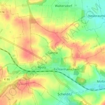
Name: Gorma topographic map, elevation, terrain.
Location: Gorma, Rositz, Altenburger Land, Thuringia, 04617, Germany (51.00271 12.35422 51.04271 12.39422)
Average elevation: 643 ft
Minimum elevation: 548 ft
Maximum elevation: 732 ft