Geolocate

Diggs topographic map

Click on the map to display elevation.

About this map

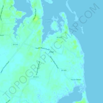
Name: Diggs topographic map, elevation, terrain.

Location: Diggs, Mathews County, Virginia, 23045, United States (37.41708 -76.28827 37.45708 -76.24827)

Average elevation: 7 ft

Minimum elevation: -20 ft

Maximum elevation: 36 ft

Mathews County trails, hiking, mountain biking, running and outdoor activities

Other topographic maps

Click on a map to view its topography, its elevation and its terrain.

Gwynn's Island

United States > Virginia > Mathews County > Gwynn

Average elevation: 7 ft

Gear up for your next adventure:

🌡️Portable Weather Meter - Track weather conditions on the trail
GPS Sports Watch - GPS watch for running, hiking and training
🪵Folding Camp Saw - Compact saw for wood and campsite work
📚Navigation Handbooks - Master the art of reading topographic maps and using a compass
⛑️Personal Locator Beacon - Safety beacon for emergencies

As an Amazon Associate, this site earns from qualifying purchases at no extra cost to you.