Geolocate

Pečnik topographic map

Click on the map to display elevation.

About this map

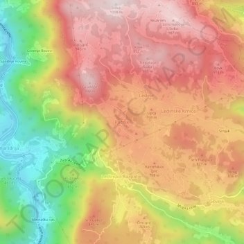
Name: Pečnik topographic map, elevation, terrain.

Location: Pečnik, Idrija, 5281, Slovenia (46.01779 14.02917 46.05779 14.06917)

Average elevation: 2,297 ft

Minimum elevation: 945 ft

Maximum elevation: 3,304 ft

Gear up for your next adventure:

🧭GPS Watch Accessories - Bands and chargers for GPS watches
Backpacking Tents - Weight-optimized shelters for multi-day topographic surveys
🧷Carabiner Set - Durable clips for gear attachment
🧥Men's Rain Shells - Premium waterproof and breathable jackets for mountain weather
🗺️Topographic Maps - Detailed topo maps for hiking, exploring and outdoor navigation

As an Amazon Associate, this site earns from qualifying purchases at no extra cost to you.