Geolocate

Kranti topographic map

Click on the map to display elevation.

About this map

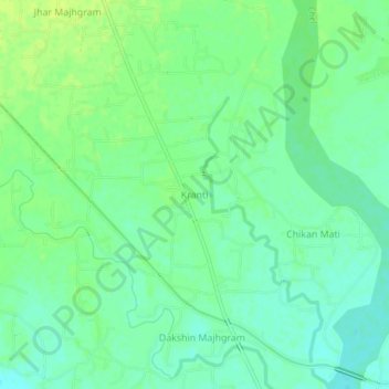
Name: Kranti topographic map, elevation, terrain.

Location: Kranti, Mal, Jalpaiguri District, West Bengal, 735218, India (26.69041 88.69829 26.73041 88.73829)

Average elevation: 328 ft

Minimum elevation: 302 ft

Maximum elevation: 351 ft

Gear up for your next adventure:

🛰️Satellite Messengers - Emergency SOS and two-way messaging for off-grid adventures
📡Handheld GPS Device - Reliable handheld GPS for outdoor navigation
🥾Women's Hiking Boots - Top-rated trail boots with ankle support and superior grip
🦟Ultrasonic Repellers - Create a bug-free zone at your camp or rest stop
🦺Reflective Outdoor Gear - Safety gear for low‑light conditions

As an Amazon Associate, this site earns from qualifying purchases at no extra cost to you.