
东镇街道 topographic map
Interactive map
Click on the map to display elevation.
About this map
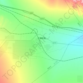
Name: 东镇街道 topographic map, elevation, terrain.
Location: 东镇街道, 玉门市, 酒泉市, 甘肃省, 735200, 中国 (39.77715 97.83250 39.84789 98.01601)
Average elevation: 6,257 ft
Minimum elevation: 5,846 ft
Maximum elevation: 7,257 ft
Other topographic maps
Click on a map to view its topography, its elevation and its terrain.