
赤金镇 topographic map
Interactive map
Click on the map to display elevation.
About this map
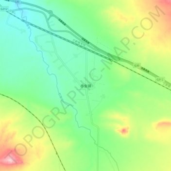
Name: 赤金镇 topographic map, elevation, terrain.
Location: 赤金镇, 玉门市, 酒泉市, 甘肃省, 735200, 中国 (39.97428 97.38592 40.05428 97.46592)
Average elevation: 5,427 ft
Minimum elevation: 5,180 ft
Maximum elevation: 5,912 ft
Other topographic maps
Click on a map to view its topography, its elevation and its terrain.