Geolocate

San Jose topographic map

Click on the map to display elevation.

About this map

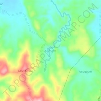
Name: San Jose topographic map, elevation, terrain.

Location: San Jose, Esperanza, Agusan del Sur, Caraga, 8513, Philippines (8.57377 125.73102 8.61377 125.77102)

Average elevation: 272 ft

Minimum elevation: 56 ft

Maximum elevation: 673 ft

Gear up for your next adventure:

🔦LED Headlamp - Bright and durable LED headlamp for night navigation
🎒Hydration Pack - Hands‑free water reservoir for long hikes
Backpacking Tents - Weight-optimized shelters for multi-day topographic surveys
🪵Folding Camp Saw - Compact saw for wood and campsite work
👟Men's Trail Runners - Lightweight footwear for fast-paced exploration and light hiking

As an Amazon Associate, this site earns from qualifying purchases at no extra cost to you.