Geolocate

Bhatwari topographic map

Click on the map to display elevation.

About this map

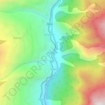
Name: Bhatwari topographic map, elevation, terrain.

Location: Bhatwari, Uttarkashi, Uttarakhand, India (30.79116 78.59954 30.83116 78.63954)

Average elevation: 6,690 ft

Minimum elevation: 4,859 ft

Maximum elevation: 9,551 ft

Gear up for your next adventure:

📚USA Hiking Guide Books - Top trail guides and map books
Backpacking Tent - Lightweight and durable tent for multi‑day hikes
🌐World Map Poster - Decorative world maps with topographic info
🕶️Glacier Sunglasses - Side shields to protect eyes from high-altitude snow glare
😴Insulated Sleeping Pads - Compact and warm pads for high-elevation camping

As an Amazon Associate, this site earns from qualifying purchases at no extra cost to you.