
Accident topographic map
Click on the map to display elevation.
About this map
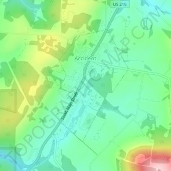
Name: Accident topographic map, elevation, terrain.
Location: Accident, Garrett County, Maryland, United States (39.61571 -79.32631 39.63354 -79.31200)
Average elevation: 2,464 ft
Minimum elevation: 2,247 ft
Maximum elevation: 2,933 ft
Garrett County trails, hiking, mountain biking, running and outdoor activities
Other topographic maps
Click on a map to view its topography, its elevation and its terrain.
Hoye-Crest
United States > Maryland > Garrett County
Hoye-Crest is a summit along Backbone Mountain just inside of Garrett County, Maryland. It is the highest natural point in Maryland at an elevation of 3,360 feet (1,020 m).
Average elevation: 2,910 ft