Geolocate

Stayman topographic map

Click on the map to display elevation.

About this map

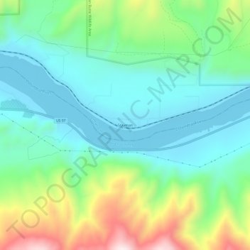
Name: Stayman topographic map, elevation, terrain.

Location: Stayman, Chelan County, Washington, United States (47.74569 -120.10980 47.78569 -120.06980)

Average elevation: 1,283 ft

Minimum elevation: 702 ft

Maximum elevation: 2,759 ft

Chelan County trails, hiking, mountain biking, running and outdoor activities

Gear up for your next adventure:

🧷Carabiner Set - Durable clips for gear attachment
🔋Rechargeable Batteries - Power up your outdoor devices
📡Handheld GPS Device - Reliable handheld GPS for outdoor navigation
🛡️Bear Spray Outdoor - Protection in bear country hikes
🎒Gear Packing Cubes - Organize your backpack efficiently

As an Amazon Associate, this site earns from qualifying purchases at no extra cost to you.