
Thank you for supporting this site ❤️
Make a donation
Make a donation
Gear up for your next adventure:
As an Amazon Associate, this site earns from qualifying purchases at no extra cost to you.
Amgaon topographic map
Click on the map to display elevation.
Thank you for supporting this site ❤️
Make a donation
Make a donation
Gear up for your next adventure:
As an Amazon Associate, this site earns from qualifying purchases at no extra cost to you.
About this map
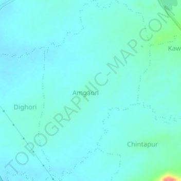
Name: Amgaon topographic map, elevation, terrain.
Location: Amgaon, Bhandara Taluka, Bhandara, Maharashtra, 441804, India (21.11179 79.72696 21.14026 79.74584)
Average elevation: 860 ft
Minimum elevation: 827 ft
Maximum elevation: 1,060 ft
Thank you for supporting this site ❤️
Make a donation
Make a donation
Gear up for your next adventure:
As an Amazon Associate, this site earns from qualifying purchases at no extra cost to you.