
Thank you for supporting this site ❤️
Make a donation
Make a donation
Gear up for your next adventure:
As an Amazon Associate, this site earns from qualifying purchases at no extra cost to you.
Al Ugheibish topographic map
Click on the map to display elevation.
Thank you for supporting this site ❤️
Make a donation
Make a donation
Gear up for your next adventure:
As an Amazon Associate, this site earns from qualifying purchases at no extra cost to you.
About this map
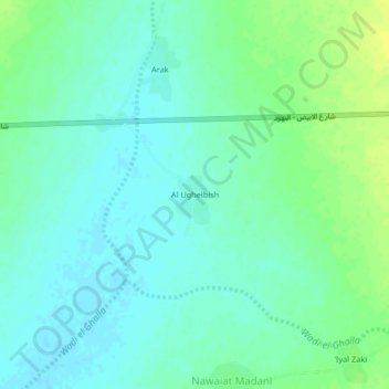
Name: Al Ugheibish topographic map, elevation, terrain.
Location: Al Ugheibish, En Nuhud, West Kordufan, Sudan (13.08126 29.38809 13.12126 29.42809)
Average elevation: 2,047 ft
Minimum elevation: 2,024 ft
Maximum elevation: 2,080 ft
Thank you for supporting this site ❤️
Make a donation
Make a donation
Gear up for your next adventure:
As an Amazon Associate, this site earns from qualifying purchases at no extra cost to you.