
Thank you for supporting this site ❤️
Make a donation
Make a donation
Gear up for your next adventure:
As an Amazon Associate, this site earns from qualifying purchases at no extra cost to you.
Getamanna topographic map
Click on the map to display elevation.
Thank you for supporting this site ❤️
Make a donation
Make a donation
Gear up for your next adventure:
As an Amazon Associate, this site earns from qualifying purchases at no extra cost to you.
About this map
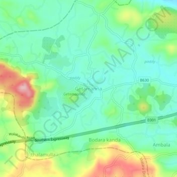
Name: Getamanna topographic map, elevation, terrain.
Location: Getamanna, Hambantota District, Southern Province, Sri Lanka (6.02074 80.66089 6.06074 80.70089)
Average elevation: 292 ft
Minimum elevation: 105 ft
Maximum elevation: 699 ft
Thank you for supporting this site ❤️
Make a donation
Make a donation
Gear up for your next adventure:
As an Amazon Associate, this site earns from qualifying purchases at no extra cost to you.