
Thank you for supporting this site ❤️
Make a donation
Make a donation
Gear up for your next adventure:
As an Amazon Associate, this site earns from qualifying purchases at no extra cost to you.
Angiola topographic map
Click on the map to display elevation.
Thank you for supporting this site ❤️
Make a donation
Make a donation
Gear up for your next adventure:
As an Amazon Associate, this site earns from qualifying purchases at no extra cost to you.
About this map
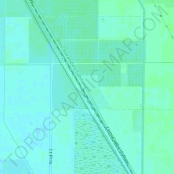
Name: Angiola topographic map, elevation, terrain.
Location: Angiola, Tulare County, California, Stati Uniti d'America (35.97912 -119.48595 35.99912 -119.46595)
Average elevation: 197 ft
Minimum elevation: 187 ft
Maximum elevation: 207 ft
Thank you for supporting this site ❤️
Make a donation
Make a donation
Gear up for your next adventure:
As an Amazon Associate, this site earns from qualifying purchases at no extra cost to you.