Geolocate

Kalamati topographic map

Click on the map to display elevation.

About this map

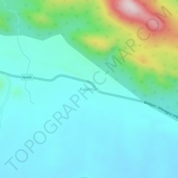
Name: Kalamati topographic map, elevation, terrain.

Location: Kalamati, Debagarh, Odisha, India (21.50609 84.78038 21.54609 84.82038)

Average elevation: 797 ft

Minimum elevation: 499 ft

Maximum elevation: 1,991 ft

Gear up for your next adventure:

🏕️Tent Footprint - Protect your tent base from wear
🧭Pro Hiking Compasses - High-accuracy liquid-filled compasses for topographic orientation
🏥Hiking First Aid Kits - Comprehensive medical kits for remote trail injuries
🚪Portable Camp Chair - Foldable chair for comfort at camp
🧢Sun Protection Hats - Wide-brimmed and UPF-rated hats for high-altitude sun safety

As an Amazon Associate, this site earns from qualifying purchases at no extra cost to you.