Geolocate

Berryhill topographic map

Click on the map to display elevation.

About this map

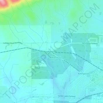
Name: Berryhill topographic map, elevation, terrain.

Location: Berryhill, Rome, Floyd County, Georgia, 30165, United States (34.27593 -85.28940 34.31593 -85.24940)

Average elevation: 679 ft

Minimum elevation: 597 ft

Maximum elevation: 1,191 ft

Floyd County trails, hiking, mountain biking, running and outdoor activities

Gear up for your next adventure:

🧢Outdoor Hiking Hat - Sun protection hat for outdoor explorers
🔦LED Headlamp - Bright and durable LED headlamp for night navigation
🛏️Cold Weather Sleeping Bag - Warm sleeping bag for cold conditions
🛡️Bear Spray Outdoor - Protection in bear country hikes
🥩Freeze-Dried Meals - Nutritious and lightweight food for remote expeditions

As an Amazon Associate, this site earns from qualifying purchases at no extra cost to you.