Geolocate

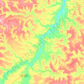
Rio Mearim topographic map

Click on the map to display elevation.

About this map
Other topographic maps

Click on a map to view its topography, its elevation and its terrain.

Barro Branco

Brasil > Maranhão > Barra do Corda > Barro Branco

Average elevation: 679 ft

Gear up for your next adventure:

🪶Wildlife Field Guides - Learn animal tracking and species ID
🔥Camping Stove - Portable stove for camping and backcountry cooking
🧢Outdoor Hiking Hat - Sun protection hat for outdoor explorers
🥾Hiking Shoes - Durable and comfortable shoes for trail hiking
🌡️Handheld Weather Meters - Measure wind, temp, and pressure for safe mountain travel

As an Amazon Associate, this site earns from qualifying purchases at no extra cost to you.