Geolocate

Paloc Sool topographic map

Click on the map to display elevation.

About this map

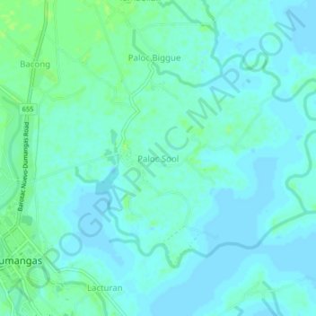
Name: Paloc Sool topographic map, elevation, terrain.

Location: Paloc Sool, Iloilo, Western Visayas, 5006, Philippines (10.81447 122.71064 10.85447 122.75064)

Average elevation: 13 ft

Minimum elevation: -7 ft

Maximum elevation: 33 ft

Other topographic maps

Click on a map to view its topography, its elevation and its terrain.

Balasan

Philippines > Iloilo

Average elevation: 138 ft

Miagao

Philippines > Iloilo

Average elevation: 318 ft

Banate

Philippines > Iloilo

Average elevation: 112 ft

Anilao

Philippines > Iloilo > Anilao

Average elevation: 171 ft

Balbagon Island

Philippines > Iloilo > Carles

Average elevation: 0 ft

Bayas Island

Philippines > Iloilo > Estancia > Bayas

Average elevation: 3 ft

Lambunao

Philippines > Iloilo > Lambunao

Average elevation: 417 ft

Leganes

Philippines > Iloilo

Average elevation: 26 ft

Gear up for your next adventure:

🔦Powerful Headlamps - Ultra-bright hands-free lighting for night navigation
🛰️Satellite Messengers - Emergency SOS and two-way messaging for off-grid adventures
🗺️NatGeo Topo Maps - High-quality waterproof printed topographic maps of US Parks
🕶️GPS Smartphone Mount - Secure mount for phone navigation
🔪Outdoor Multitools - Essential survival tools for gear repair and field use

As an Amazon Associate, this site earns from qualifying purchases at no extra cost to you.