
Thank you for supporting this site ❤️
Make a donation
Make a donation
Gear up for your next adventure:
As an Amazon Associate, this site earns from qualifying purchases at no extra cost to you.
Ortabağ topographic map
Click on the map to display elevation.
Thank you for supporting this site ❤️
Make a donation
Make a donation
Gear up for your next adventure:
As an Amazon Associate, this site earns from qualifying purchases at no extra cost to you.
About this map
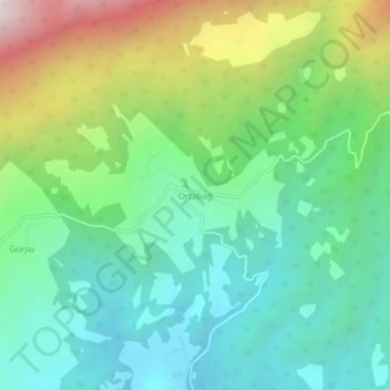
Name: Ortabağ topographic map, elevation, terrain.
Location: Ortabağ, Kaş, Antalya, Mediterranean Region, Turkey (36.41352 29.76191 36.45352 29.80191)
Average elevation: 2,677 ft
Minimum elevation: 1,178 ft
Maximum elevation: 6,106 ft
Thank you for supporting this site ❤️
Make a donation
Make a donation
Gear up for your next adventure:
As an Amazon Associate, this site earns from qualifying purchases at no extra cost to you.