
Thank you for supporting this site ❤️
Make a donation
Make a donation
Gear up for your next adventure:
As an Amazon Associate, this site earns from qualifying purchases at no extra cost to you.
Sirasmal topographic map
Click on the map to display elevation.
Thank you for supporting this site ❤️
Make a donation
Make a donation
Gear up for your next adventure:
As an Amazon Associate, this site earns from qualifying purchases at no extra cost to you.
About this map
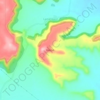
Name: Sirasmal topographic map, elevation, terrain.
Location: Sirasmal, Lamangaon, Khuldabad, Aurangabad, Maharashtra, India (20.02383 75.18762 20.06383 75.22762)
Average elevation: 2,500 ft
Minimum elevation: 2,290 ft
Maximum elevation: 2,910 ft
Thank you for supporting this site ❤️
Make a donation
Make a donation
Gear up for your next adventure:
As an Amazon Associate, this site earns from qualifying purchases at no extra cost to you.