Geolocate

Kakworo topographic map

Click on the map to display elevation.

About this map

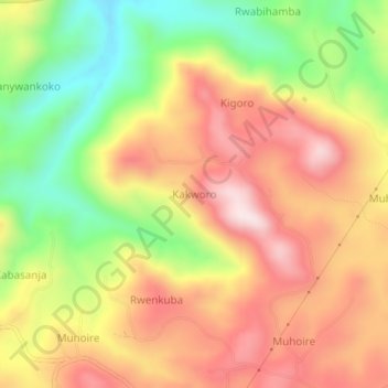
Name: Kakworo topographic map, elevation, terrain.

Location: Kakworo, Kabarole, Western Region, Uganda (0.74483 30.34198 0.78483 30.38198)

Average elevation: 4,797 ft

Minimum elevation: 3,957 ft

Maximum elevation: 5,522 ft

Gear up for your next adventure:

🛰️Satellite Messengers - Emergency SOS and two-way messaging for off-grid adventures
🛠️Backpacking Tool Kit - Essential toolkit for outdoor repairs
🧭Hiking Compass - Precision compass for reliable navigation in the wilderness
🗃️Trail First Aid Kit - Essential kit for outdoor injuries and emergencies
🪶Survival Guide Book - Expert advice for emergency preparedness

As an Amazon Associate, this site earns from qualifying purchases at no extra cost to you.