
Yuzhnyy Oleniy Island topographic map
Interactive map
Click on the map to display elevation.
About this map
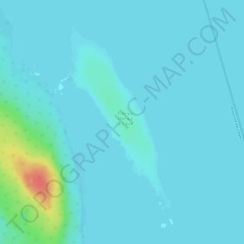
Name: Yuzhnyy Oleniy Island topographic map, elevation, terrain.
Average elevation: 121 ft
Minimum elevation: 102 ft
Maximum elevation: 266 ft