
Thank you for supporting this site ❤️
Make a donation
Make a donation
Gear up for your next adventure:
As an Amazon Associate, this site earns from qualifying purchases at no extra cost to you.
Innis topographic map
Click on the map to display elevation.
Thank you for supporting this site ❤️
Make a donation
Make a donation
Gear up for your next adventure:
As an Amazon Associate, this site earns from qualifying purchases at no extra cost to you.
About this map
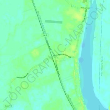
Name: Innis topographic map, elevation, terrain.
Location: Innis, Pointe Coupee Parish, Louisiana, 70747, United States (30.85796 -91.70067 30.89796 -91.66067)
Average elevation: 46 ft
Minimum elevation: 26 ft
Maximum elevation: 69 ft
Pointe Coupee Parish trails, hiking, mountain biking, running and outdoor activities
Thank you for supporting this site ❤️
Make a donation
Make a donation
Gear up for your next adventure:
As an Amazon Associate, this site earns from qualifying purchases at no extra cost to you.