
Tegal topographic map
Click on the map to display elevation.
About this map
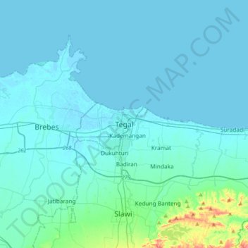
Name: Tegal topographic map, elevation, terrain.
Location: Tegal, Central Java, Java, 52131, Indonesia (-7.02733 108.97782 -6.70733 109.29782)
Average elevation: 49 ft
Minimum elevation: -7 ft
Maximum elevation: 653 ft