
Le Center topographic map
Interactive map
Click on the map to display elevation.
About this map
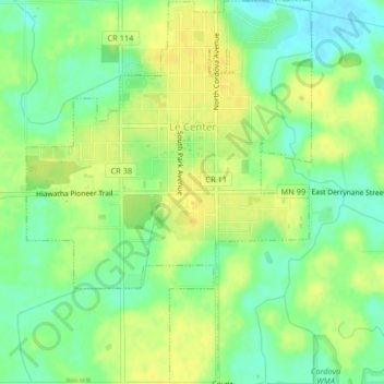
Name: Le Center topographic map, elevation, terrain.
Location: Le Center, Le Sueur County, Minnesota, United States (44.36980 -93.74795 44.39898 -93.71754)
Average elevation: 1,047 ft
Minimum elevation: 1,001 ft
Maximum elevation: 1,083 ft
Le Sueur County trails, hiking, mountain biking, running and outdoor activities