
Thank you for supporting this site ❤️
Make a donation
Make a donation
Gear up for your next adventure:
As an Amazon Associate, this site earns from qualifying purchases at no extra cost to you.
Bschlabs topographic map
Click on the map to display elevation.
Thank you for supporting this site ❤️
Make a donation
Make a donation
Gear up for your next adventure:
As an Amazon Associate, this site earns from qualifying purchases at no extra cost to you.
About this map
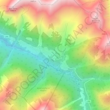
Name: Bschlabs topographic map, elevation, terrain.
Location: Bschlabs, Pfafflar, Bezirk Reutte, 6647, Autriche (47.28929 10.56559 47.32929 10.60559)
Average elevation: 5,472 ft
Minimum elevation: 3,573 ft
Maximum elevation: 7,736 ft
Thank you for supporting this site ❤️
Make a donation
Make a donation
Gear up for your next adventure:
As an Amazon Associate, this site earns from qualifying purchases at no extra cost to you.