Geolocate

Panshet Dam topographic map

Click on the map to display elevation.

About this map

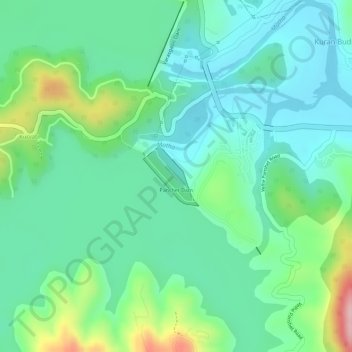
Name: Panshet Dam topographic map, elevation, terrain.

Location: Panshet Dam, Kuran Budruk, Velhe, Maharashtra, India (18.37577 73.61124 18.38034 73.61567)

Average elevation: 2,077 ft

Minimum elevation: 1,893 ft

Maximum elevation: 2,533 ft

Gear up for your next adventure:

🚑Emergency Bivvies - Heat-reflective sleeping bags for survival situations
🧯Portable Fire Pit - Compact fire pit for camping spots
🧭Hiking Compass - Precision compass for reliable navigation in the wilderness
🥾Hiking Shoes - Durable and comfortable shoes for trail hiking
🪶Trail Camera - Capture wildlife on your hikes

As an Amazon Associate, this site earns from qualifying purchases at no extra cost to you.