Geolocate

Harshi topographic map

Click on the map to display elevation.

About this map

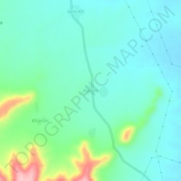
Name: Harshi topographic map, elevation, terrain.

Location: Harshi, Pusad, Yavatmal District, Maharashtra, India (19.79491 77.56972 19.83491 77.60972)

Average elevation: 1,224 ft

Minimum elevation: 1,093 ft

Maximum elevation: 1,673 ft

Gear up for your next adventure:

🌡️Handheld Weather Meters - Measure wind, temp, and pressure for safe mountain travel
💧Water Filtration Bottles - Safely drink from streams and lakes while exploring
❄️Traction Cleats - Prevent slips on icy trails during winter hikes
🌎3D Topographic Globes - Raised relief globes for a tactile understanding of geography
🧢Sun Protection Hats - Wide-brimmed and UPF-rated hats for high-altitude sun safety

As an Amazon Associate, this site earns from qualifying purchases at no extra cost to you.