
Woolwich topographic map
Click on the map to display elevation.
About this map
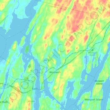
Name: Woolwich topographic map, elevation, terrain.
Location: Woolwich, Sagadahoc County, Maine, 04579, United States (43.88520 -69.83939 44.02602 -69.70010)
Average elevation: 69 ft
Minimum elevation: -13 ft
Maximum elevation: 272 ft
Sagadahoc County trails, hiking, mountain biking, running and outdoor activities
Other topographic maps
Click on a map to view its topography, its elevation and its terrain.