
Lower Post topographic map
Interactive map
Click on the map to display elevation.
About this map
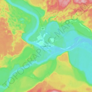
Name: Lower Post topographic map, elevation, terrain.
Location: Lower Post, Stikine Region, British Columbia, Canada (59.88424 -128.53622 59.96424 -128.45622)
Average elevation: 2,051 ft
Minimum elevation: 1,870 ft
Maximum elevation: 2,415 ft