
Cape Colony topographic map
Click on the map to display elevation.
About this map
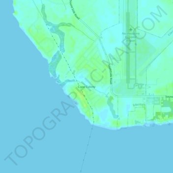
Name: Cape Colony topographic map, elevation, terrain.
Location: Cape Colony, Chowan County, North Carolina, United States (35.99961 -76.60161 36.03961 -76.56161)
Average elevation: 7 ft
Minimum elevation: -10 ft
Maximum elevation: 39 ft
Chowan County trails, hiking, mountain biking, running and outdoor activities