
El Maghra topographic map
Interactive map
Click on the map to display elevation.
About this map
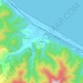
Name: El Maghra topographic map, elevation, terrain.
Location: El Maghra, Boukhelifa, Tichy District, Bejaia, 06101, Algeria (36.66227 5.08943 36.70227 5.12943)
Average elevation: 394 ft
Minimum elevation: -10 ft
Maximum elevation: 1,778 ft