Bejaia topographic maps
Click on a map to view its topography, its elevation and its terrain.



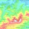
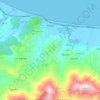
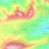
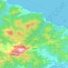
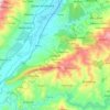
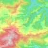
Aokas
Algeria > Bejaia > Aokas District
It is located at about 25 kilometres from the province's capital city of Bejaia. The commune of Aokas was created by decree of October 2, 1869. It covered an area of 2,202 hectares and had a population of 2,245 inhabitants in 1931. Its name in berber means shark. Its average altitude is 300 meters.
Average elevation: 1,040 ft

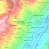
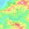


Amalou
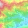
Algeria > Bejaia > Seddouk District
Amalou lies in the Soummam Valley in northern Algeria, a region known for its Mediterranean climate and hilly terrain. The commune covers an area of approximately 57.14 km² and sits at an elevation of about 430–490 m above sea level.
Average elevation: 1,342 ft
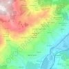
Bejaia
Algeria > Bejaia > Bejaia District
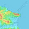
Béjaïa owes its existence to its port, which also makes it prosperous. It is located in a sickle-shaped bay protected from the swell of offshore winds (northwest facing) by the advance of Cape Carbon (to the west of the city). The city is backed by Mount Gouraya located in a northwest position. This port…
Average elevation: 197 ft
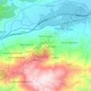
Akbou
Algeria > Bejaia > Akbou District
Akbou is located in the upper Soummam River valley on the eastern flank of the Djurdjura. It is bounded to the north by Ouzellaguen, east by the Soummam River, which separates it from the commune of Amalou, south-east by the Sahel River, locally called "assif abbas", which separates it from the communes of Ait…
Average elevation: 1,411 ft

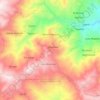
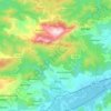
El Kseur
Algeria > Bejaia > El Kseur District
The town of El Kseur enjoys a temperate and humid climate with a mild winter characteristic of the Mediterranean zones and an important rainfall, like all the towns of the eastern half of the Algerian coast. Due to the mountainous massifs surrounding the city, it snow every year in winter between December and…
Average elevation: 1,145 ft