
Thank you for supporting this site ❤️
Make a donation
Make a donation
Gear up for your next adventure:
As an Amazon Associate, this site earns from qualifying purchases at no extra cost to you.
Korut topographic map
Click on the map to display elevation.
Thank you for supporting this site ❤️
Make a donation
Make a donation
Gear up for your next adventure:
As an Amazon Associate, this site earns from qualifying purchases at no extra cost to you.
About this map
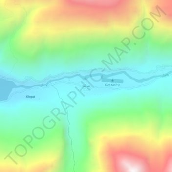
Name: Korut topographic map, elevation, terrain.
Location: Korut, Wakhan, Badakhshan Province, Afghanistan (36.92941 72.94554 36.96941 72.98554)
Average elevation: 11,598 ft
Minimum elevation: 9,961 ft
Maximum elevation: 14,629 ft
Thank you for supporting this site ❤️
Make a donation
Make a donation
Gear up for your next adventure:
As an Amazon Associate, this site earns from qualifying purchases at no extra cost to you.