
Ginza topographic map
Interactive map
Click on the map to display elevation.
About this map
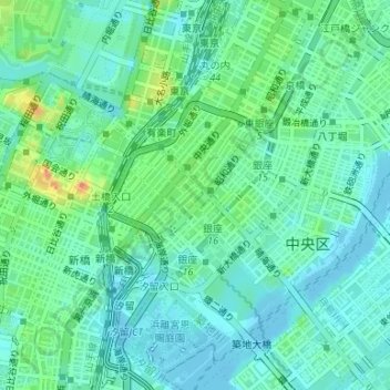
Name: Ginza topographic map, elevation, terrain.
Location: Ginza, Chuo, Tokio, Japón (35.66308 139.75856 35.67593 139.77245)
Average elevation: 49 ft
Minimum elevation: -20 ft
Maximum elevation: 184 ft
Other topographic maps
Click on a map to view its topography, its elevation and its terrain.