
Harumi topographic map
Interactive map
Click on the map to display elevation.
About this map
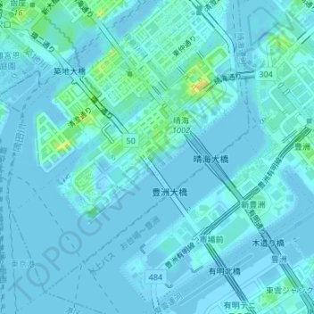
Name: Harumi topographic map, elevation, terrain.
Location: Harumi, Chuo, Tokio, Japón (35.64035 139.76491 35.66323 139.78959)
Average elevation: 13 ft
Minimum elevation: -20 ft
Maximum elevation: 105 ft
Other topographic maps
Click on a map to view its topography, its elevation and its terrain.