
Thank you for supporting this site ❤️
Make a donation
Make a donation
Gear up for your next adventure:
As an Amazon Associate, this site earns from qualifying purchases at no extra cost to you.
Chijia topographic map
Click on the map to display elevation.
Thank you for supporting this site ❤️
Make a donation
Make a donation
Gear up for your next adventure:
As an Amazon Associate, this site earns from qualifying purchases at no extra cost to you.
About this map
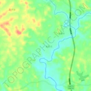
Name: Chijia topographic map, elevation, terrain.
Location: Chijia, Renshou County, Meishan City, Sichuan, China (30.08210 104.17400 30.12210 104.21400)
Average elevation: 1,352 ft
Minimum elevation: 1,260 ft
Maximum elevation: 1,499 ft
Thank you for supporting this site ❤️
Make a donation
Make a donation
Gear up for your next adventure:
As an Amazon Associate, this site earns from qualifying purchases at no extra cost to you.