Geolocate

Globe topographic map

Click on the map to display elevation.

About this map

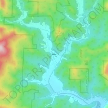
Name: Globe topographic map, elevation, terrain.

Location: Globe, Caldwell County, North Carolina, United States (36.02654 -81.72787 36.06654 -81.68787)

Average elevation: 1,604 ft

Minimum elevation: 1,260 ft

Maximum elevation: 2,477 ft

Caldwell County trails, hiking, mountain biking, running and outdoor activities

Other topographic maps

Click on a map to view its topography, its elevation and its terrain.

Lenoir

United States > North Carolina > Caldwell County

Average elevation: 1,250 ft

Lenoir

United States > North Carolina > Caldwell County

Average elevation: 1,250 ft

Gamewell

United States > North Carolina > Caldwell County > Gamewell

Average elevation: 1,135 ft

Gear up for your next adventure:

🛏️Cold Weather Sleeping Bag - Warm sleeping bag for cold conditions
🥘Titanium Cookware - Durable, featherlight pots and pans for backpacking
📦Gear Storage Bags - Organize and protect outdoor equipment
💧Water Filtration Bottles - Safely drink from streams and lakes while exploring
🔭Compact Binoculars - HD vision for scouting terrain and identifying distant landmarks

As an Amazon Associate, this site earns from qualifying purchases at no extra cost to you.