
古一村 topographic map
Interactive map
Click on the map to display elevation.
About this map
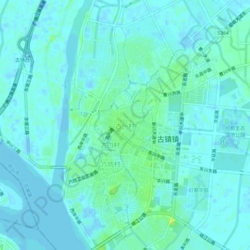
Name: 古一村 topographic map, elevation, terrain.
Location: 古一村, 中山市, 广东省, 528421, 中国 (22.60137 113.15510 22.64137 113.19510)
Average elevation: 10 ft
Minimum elevation: -20 ft
Maximum elevation: 43 ft
Other topographic maps
Click on a map to view its topography, its elevation and its terrain.