
Ranchi Lake (Bada Talab) topographic map
Interactive map
Click on the map to display elevation.
About this map
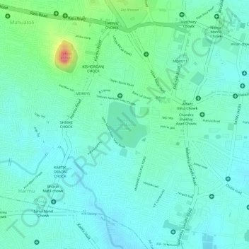
Name: Ranchi Lake (Bada Talab) topographic map, elevation, terrain.
Average elevation: 2,133 ft
Minimum elevation: 2,067 ft
Maximum elevation: 2,336 ft
Other topographic maps
Click on a map to view its topography, its elevation and its terrain.
Tagore hill
India > Jharkhand > Kanke > Ranchi
Tagore hill, Ranchi, Kanke, Ranchi, Jharkhand, 834008, India
Average elevation: 2,100 ft
Rock Garden
India > Jharkhand > Kanke > Ranchi
Rock Garden, Pahar Gonda, Ranchi, Kanke, Ranchi, Jharkhand, India
Average elevation: 2,113 ft