Geolocate

Fort Recovery topographic map

Click on the map to display elevation.

About this map

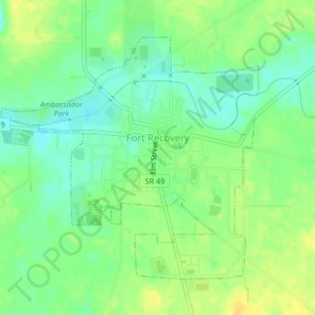
Name: Fort Recovery topographic map, elevation, terrain.

Location: Fort Recovery, Mercer County, Ohio, United States (40.40067 -84.79401 40.42144 -84.76503)

Average elevation: 948 ft

Minimum elevation: 909 ft

Maximum elevation: 988 ft

Mercer County trails, hiking, mountain biking, running and outdoor activities

Gear up for your next adventure:

📡GPS Antenna Upgrade - Enhance GPS reception in remote terrain
🌡️Portable Weather Meter - Track weather conditions on the trail
📶Satellite Messenger - Communication device off‑grid
🛡️Bear Spray Outdoor - Protection in bear country hikes
🔦LED Headlamp - Bright and durable LED headlamp for night navigation

As an Amazon Associate, this site earns from qualifying purchases at no extra cost to you.