
Leonard topographic map
Click on the map to display elevation.
About this map
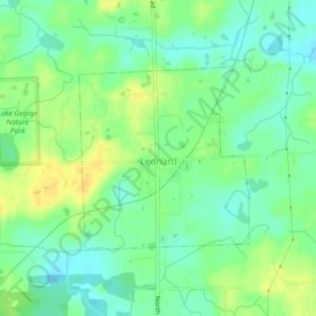
Name: Leonard topographic map, elevation, terrain.
Location: Leonard, Oakland County, Michigan, United States (42.85766 -83.15198 42.87339 -83.13212)
Average elevation: 1,004 ft
Minimum elevation: 965 ft
Maximum elevation: 1,050 ft
Oakland County trails, hiking, mountain biking, running and outdoor activities