Geolocate

Devsar topographic map

Click on the map to display elevation.

About this map

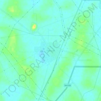
Name: Devsar topographic map, elevation, terrain.

Location: Devsar, Bhiwani, Haryana, India (28.74196 76.06781 28.78196 76.10781)

Average elevation: 719 ft

Minimum elevation: 696 ft

Maximum elevation: 784 ft

Gear up for your next adventure:

🥤Water Filter Bottle - All‑in‑one filter bottle for safe hydration
📌Outdoor GPS Map App - Apps and devices for digital topographic navigation
Backpacking Tent - Lightweight and durable tent for multi‑day hikes
🩹Survival Bandages - High‑quality bandages for emergencies
🏔️Mountain Trail Maps - High‑detail maps for popular peaks

As an Amazon Associate, this site earns from qualifying purchases at no extra cost to you.