Geolocate
👉 Easily get elevation data in JSON, GeoTIFF and KML formats using Elevation API
Thank you for supporting this site ❤️
Make a donation

Lac-David topographic map

Click on the map to display elevation.

About this map

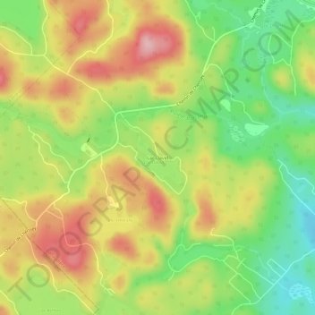
Name: Lac-David topographic map, elevation, terrain.

Location: Lac-David, Chertsey, Matawinie, Lanaudière, Quebec, Canada (46.06417 -73.96983 46.10417 -73.92983)

Average elevation: 1,207 ft

Minimum elevation: 928 ft

Maximum elevation: 1,496 ft

Gear up for your next adventure:

💧Water Purification System - Clean water on the trail with reliable purifiers
🎒Waterproof Dry Bags - Keep your electronics and maps dry inside your pack
🧭Pro Hiking Compasses - High-accuracy liquid-filled compasses for topographic orientation
🪶Survival Guide Book - Expert advice for emergency preparedness
📶Vehicle Signal Boosters - Improve reception in rural areas while driving to trailheads

As an Amazon Associate, this site earns from qualifying purchases at no extra cost to you.