
Nonaville topographic map
Click on the map to display elevation.
About this map
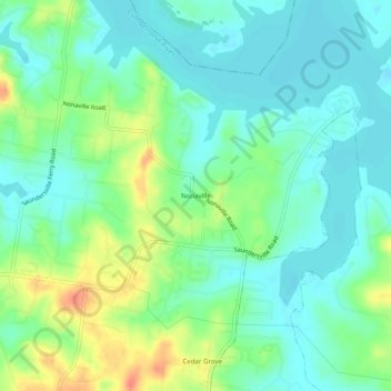
Name: Nonaville topographic map, elevation, terrain.
Location: Nonaville, Wilson County, Tennessee, United States (36.24866 -86.54861 36.28866 -86.50861)
Average elevation: 499 ft
Minimum elevation: 440 ft
Maximum elevation: 636 ft