Geolocate

Nimblewill topographic map

Click on the map to display elevation.

About this map

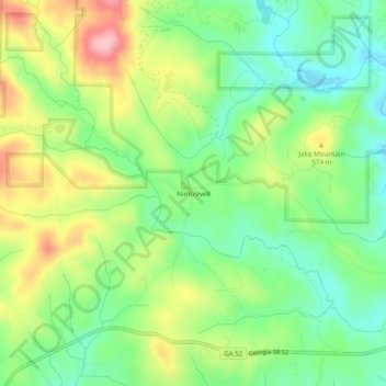
Name: Nimblewill topographic map, elevation, terrain.

Location: Nimblewill, Lumpkin County, Georgia, United States (34.54342 -84.16019 34.58342 -84.12019)

Average elevation: 1,732 ft

Minimum elevation: 1,512 ft

Maximum elevation: 2,070 ft

Lumpkin County trails, hiking, mountain biking, running and outdoor activities

Other topographic maps

Click on a map to view its topography, its elevation and its terrain.

Dahlonega

United States > Georgia > Lumpkin County

Average elevation: 1,348 ft

Dahlonega

United States > Georgia > Lumpkin County

Average elevation: 1,348 ft

DeSoto Falls

United States > Georgia > Lumpkin County

Average elevation: 2,815 ft

Gear up for your next adventure:

🦶Carbon Trekking Poles - Reduce knee impact on steep descents with ultra-light poles
💧Water Filtration Bottles - Safely drink from streams and lakes while exploring
🌡️Portable Weather Meter - Track weather conditions on the trail
🏕️Family Camping Gear - Essentials for group camping trips
🌡️Handheld Weather Meters - Measure wind, temp, and pressure for safe mountain travel

As an Amazon Associate, this site earns from qualifying purchases at no extra cost to you.