
Speers topographic map
Interactive map
Click on the map to display elevation.
About this map
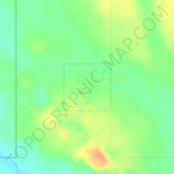
Name: Speers topographic map, elevation, terrain.
Location: Speers, Division No. 16, Saskatchewan, Canada (52.70372 -107.56410 52.71096 -107.55214)
Average elevation: 1,932 ft
Minimum elevation: 1,877 ft
Maximum elevation: 2,001 ft
Other topographic maps
Click on a map to view its topography, its elevation and its terrain.
North Battleford
Canada > Saskatchewan > Division No. 16
North Battleford, Division No. 16, Saskatchewan, Canada
Average elevation: 1,670 ft